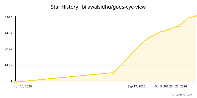
Overview
God's Eye View is a revolutionary open-source spy satellite simulator that brings the world's live spatial intelligence directly to your browser. Forget static maps and disconnected data feeds; this project offers a photorealistic 3D globe populated with real-time information on aircraft, ships, satellites, seismic activity, traffic, and public cameras. What sets it apart is its foundation on publicly available data, transforming complex signals into an intuitive, inspectable, and powerful interface.
Key Features
- Photorealistic 3D Globe: Explore a stunningly rendered Earth that serves as the canvas for live data.
- Live, Real-World Data: Track thousands of aircraft and ships, monitor satellite positions, view real-time earthquakes, and see live traffic conditions, all derived from public signals.
- Public Camera Integration: View live feeds from public cameras projected directly into the 3D environment, offering ground-level perspectives.
- Intuitive Cockpit View: Experience flight from inside a tracked aircraft, complete with HUDs and sensor mode switching (CRT, NVG, FLIR).
- Hands-Free Voice Control: Interact with the simulator using a real-time AI agent, allowing for commands, queries, and annotations via voice.
- Inspectable & Extensible: As an open-source project, every line of code is visible, encouraging community contributions and customization.
- Customizable Sensor Views: Reskin the entire globe with various GLSL sensor effects, from CRT to thermal imaging.
- Seamless Data Layering: Effortlessly switch between and combine multiple data layers, including flights, vessels, satellites, earthquakes, traffic, and more, with clear visibility of source and freshness.
- Shareable Scenarios: Generate URLs that capture your current view, including camera position, style, layers, and even tracked targets.
Typical Use Cases
- Live Global Surveillance: Monitor real-time movements of aircraft and vessels across the globe, similar to a spy operator.
- Situational Awareness: Gain a comprehensive understanding of an area by combining flight data, traffic, public cameras, and environmental information.
- Educational Exploration: Learn about global infrastructure, orbital mechanics, and real-world events through an engaging and interactive platform.
- Journalism & Research: Utilize live, public spatial intelligence for investigative reporting or data-driven research.
- Hobbyist & Enthusiast Use: Explore the world from a unique perspective, leveraging live data for personal projects and discovery.
- Development & Customization: Build upon the open-source foundation to create custom intelligence tools or visualizations.